

Marine areas
St. Barts forms, with St. Martin, Anguilla, and Dog Island, a distinct group that lies upon the western edge of a flat bank of soundings composed chiefly of shells, sand, and coral. From St. Barts, the bank extends east-southeast, ending in a small tongue or spit. It is separated from the main bank by a narrow length of deep water. East of the island, the edge of the bank lies 22 km away.
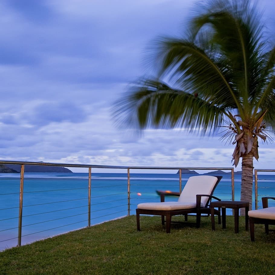
Grande Saline Bay provides temporary anchorage for small vessels while Colombier Bay, to the northwest, has a 4 fathoms patch near mid entrance. In the bight of St. Jean Bay there is a narrow cut through the reef. The north and east sides of the island are fringed, to a short distance from the shore, by a visible coral reef. Reefs are mostly in shallow waters and are clearly visible. The coastal areas abound with beaches and many of these have offshore reefs, some of which are part of a marine reserve. The marine reserve, founded in 1999, covers more than 1,000 hectares of protected and vulnerable habitats, bays and islands, and includes a zone that is restricted to scientific observations only. As the sea surrounding the St. Barts is rich in corral reefs and other precious marine life, the area has been declared a protected area since 1996. Environmental awareness is quite pronounced in St. Barts and is promoted by the Environmental Commission.
Interior areas
Morne Vitet, 286 m in height, is the highest peak in the island. There are few sheep pens built with stone walls on the slopes of the mountain. A hill road leads to the Grand Cul-de-Sac from where scenic views of the entire coast line can be witnessed.Hills and valleys of varying topography cover the rest of the island. Two other hills near the island's east end are of nearly the same elevation at 262 and 250 m above sea level.
Populated areas
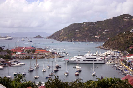
Small villages are seen spread out in the rolling hills in the interior. Gustavia, the capital of the island is located in a natural harbour which has witnessed many historical transitions. Yachts are a common sight in the harbour. The oldest settlement still remaining is the village of Lorient Lorient's sister village on the French mainland is the city of Lorient on the southern coast of Brittany. The population is spread among 40 quartiers, roughly corresponding to settlements. They are grouped into two halves:
Shell Beach (Anse De Grand Galet).
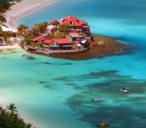
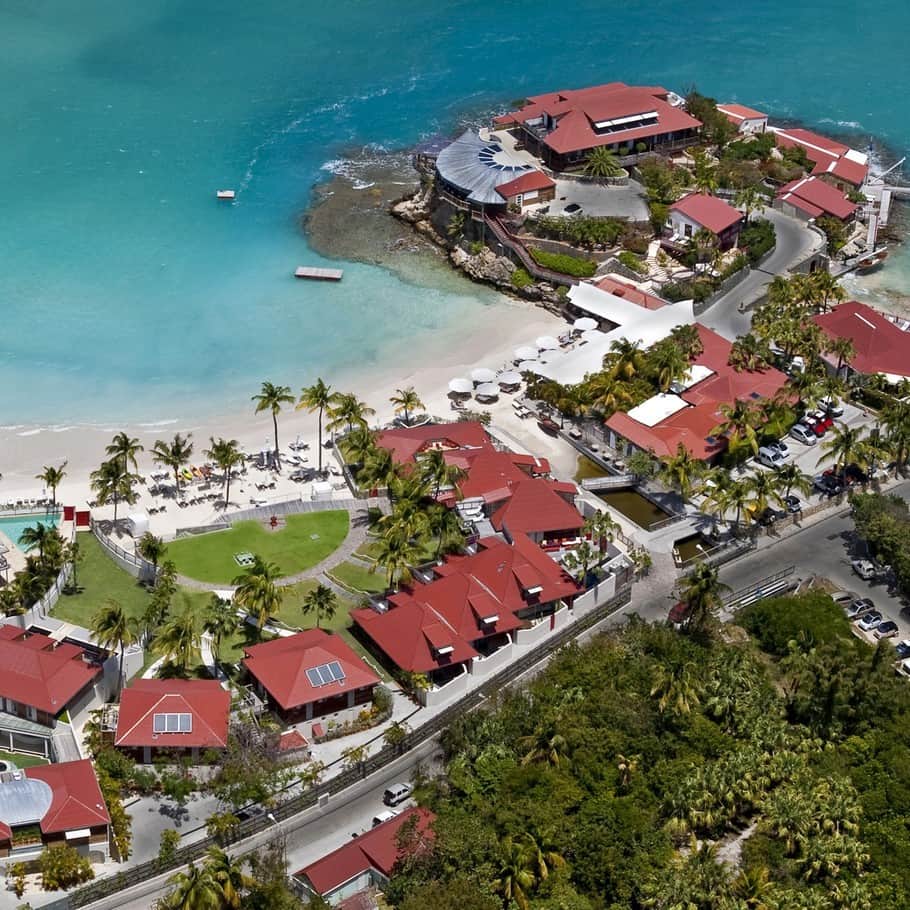
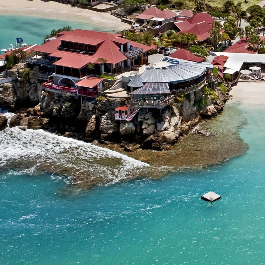
There are as many as 22 public beaches of which 15 are considered suitable for swimming. They are categorized divided into two areas, the leeward side and windward side The windward beaches are popular for windsurfing. St Jean beach is suitable for water sports and all facilities have been created for the purpose. The long Lorient beach has shade and is a quiet beach as compared to the St. Jean beach. The Grand-cul-de-sac is a long beach with facilities for water sports. Anse Toiny beach is in a remote location and is considered suitable for experienced surfers as the water current is very strong.The Anse de Grande Saline beach is popular with nudists. On the leeward side, the notable beaches are: Anse du Gouverneur, the Anse du Colombier, and Anse des Flamands. The salt pond near the Flamands beach is marshy and is habitat for tropical birds.[verification needed] Ile islet, an offshoot of the leeward side, has a white sandy beach. Shell Beach, also called Anse de Grand Galet is a beach in the southwestern part of Gustavia. A large number of sea shells are scattered on this beach. This beach was subject to the strong waves of hurricane Lenny in 1999, which resulted in erosion of the sand. This necessitated supplementing the beach with new sand in 2000.
On the north coast, on the far eastern side of the island, there are two lagoons called the Anse de Marigot[verification needed] and Anse du Grand Cul-de-Sac.


0 comments:
Post a Comment